The official travel journal of Jerry & Ann Linebarger
www.linebloggers.com
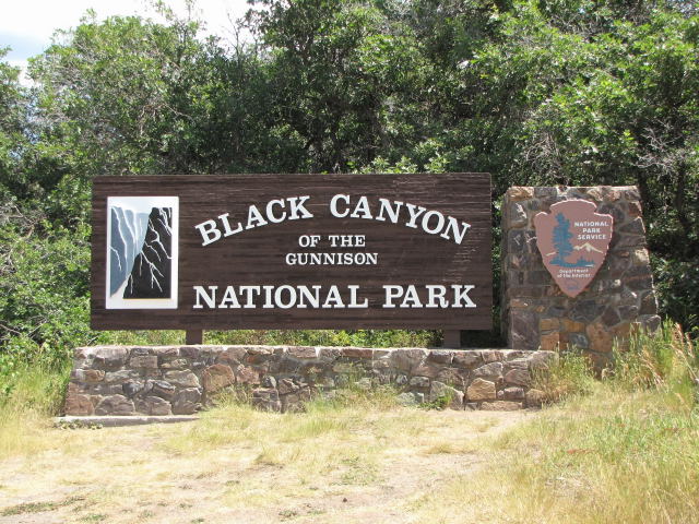
We left Sunshine Campground on Tuesday, August 4, headed for Black Canyon of the Gunnison National Park. We visited here 9 years ago with our cousins from St. Louis. It was so beautiful that we decided on a return visit. Interestingly, as we camped here, we realized that we have never camped in a national park before. The campgrounds inside national parks are usually so crowded that you can't find a space. Here, we were lucky.
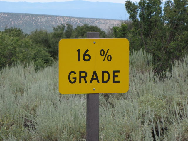
The road into the Black Canyon is a long, tortuous one with steep climbs and sharp curves, climbing from 6,668 feet at Montrose to 8,050 at the park's entrance. But Bubba made it without a hitch and we settled into Loop B of the South Rim Campground which offered sites with electricity. This is rare among national parks as there are usually no hookups. Our campsite was surrounded by low bushes, a haven in which Harley enjoyed much playtime chasing chipmunks and ground squirrels. This was our first glimpse of the canyon from Tomichi Point, near the Visitor Center.
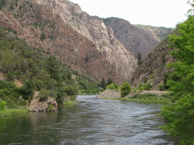
On Wednesday morning, we drove Pearl (our truck) down East Portal Road to the Gunnison River. I don't believe that Bubba could have handled this one!
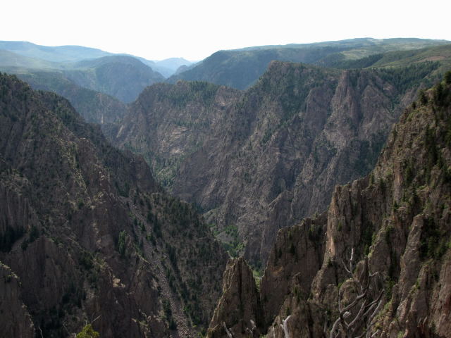
The beautiful Gunnison River that created the Black Canyon. The canyon is named so because of its steep, steep cliffs, some of which prevent sunshine from ever reaching the river. The river drops 2,000 feet on its 53 mile journey through the canyon.
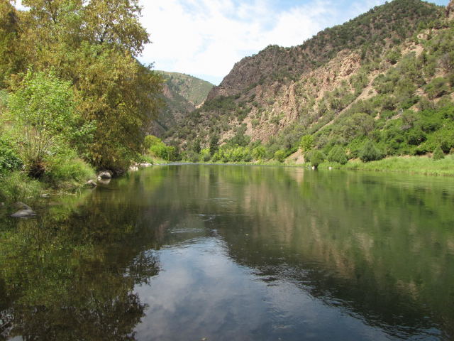
We had a wonderful picnic under a shade tree on the banks of the Gunnison.
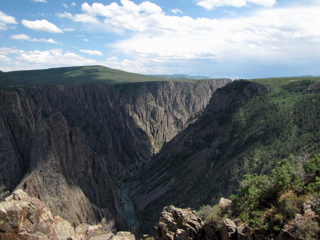
After our trip to the bottom edge of the canyon, we took the scenic rim drive. This is the view from Pulpit Rock overlook. The rock in the canyon is so hard that it erodes only one inch every 100 years or the width of a human hair every year. That gives you a hint of how old this canyon is.
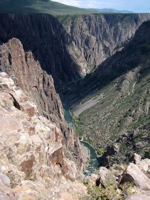
The mighty Gunnison, using a zoom lens. The river drops an average of 43 feet per mile outside the park. In the park, the drop averages 95 feet per mile but as much as 480 feet per mile in the 2 mile stretch from Pulpit Rock to Chasm View. To give Arkansans a reference point, the Buffalo River drops 3-4 feet per mile in its middle section.